Tordsnose
Mountain in Norway


Tordsnose
Tordsnose (Innlandet)
Show map of Innlandet
Tordsnose
Tordsnose (Norway)
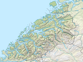
Show map of NorwayTordsnose is a mountain on the border of Fjord Municipality (in Møre og Romsdal county) and Skjåk Municipality (in Innlandet county) in Norway. The 1,975-metre (6,480 ft) tall mountain lies within the Tafjordfjella mountain range and within Reinheimen National Park, about 6 kilometres (3.7 mi) southwest of Karitinden and 8.5 kilometres (5.3 mi) south of Puttegga. The lake Grønvatnet sits 3 kilometres (1.9 mi) south of the mountain and the lake Tordsvatnet lies 8 kilometres (5.0 mi) straight east of the mountain. Other mountains surrounding it include Veltdalseggi to the east and Vulueggi and Krosshø to the south.[1]
See also
References
- ^ Bjørstad, Petter. "The Major Mountains of Møre og Romsdal". Retrieved 2010-10-15.
- v
- t
- e


